Digitalisation of cycling
RadVIS - The future of cycle traffic planning
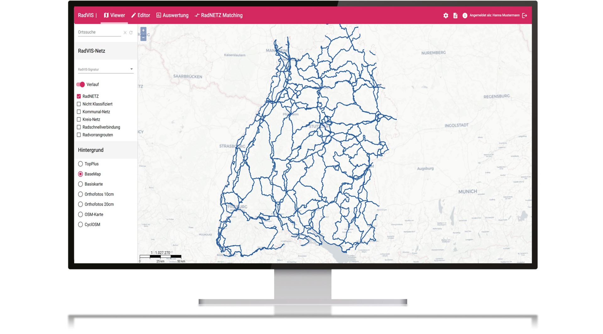
RadVIS is the ultimate software solution for the digitalisation of cycling. RadVIS makes collecting, processing and analysing cycling infrastructure data easier than ever before. The system brings together various sources of cycling data in one centralised location to facilitate collaboration between administrative levels and the public.
RadVIS offers comprehensive functions, including the display of current routes and measures of a cycle route network, the integration of existing cycle traffic information from districts and municipalities and the possibility of recording cycle infrastructure data in a simple WebGIS.
The system facilitates cooperation between administrative levels by providing a central
data source for a wide range of cycling information and interfaces for data exchange for those with their own systems.
exchange for those with their own system. RadVIS also offers cycling-related evaluation options and a measure management system for planning, coordination, implementation status documentation and communication of municipal cycling infrastructure measures.
RadVIS includes a nationwide cycle route planner and a configurable reporting platform for praise and criticism as well as suggestions for signposting is planned. RadVIS fulfils all requirements for the publication of data in accordance with the EU Delegated Regulation 2017/1926/INSPIRE Directive.
Benefit from the SaaS solution
RadVIS is offered as Software-as-a-Service (SaaS), which means that the software is provided centrally and used via the internet. Using RadVIS as SaaS has many advantages, such as greater scalability, better availability and easier access to the software. In addition, there is no need to set up and maintain your own server infrastructure, which saves time and money.
Use RadVIS now to digitally record, process and analyse your cycling infrastructure data. Facilitate co-operation between administrative levels and the public with RadVIS!